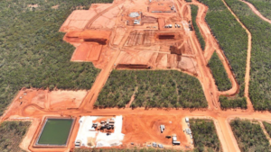
Geospatial analysis and presentation is an essential component of environmental management and approvals. MBS has extensive experience in geospatial services both in support of our other work and as stand-alone services. We primarily use the powerful and ever improving open source QGIS software for our GIS work, supplemented with other software as required. MBS also have compact unmanned aerial vehicle (drone) which can be used to collect up to date spatial data.
Geospatial Services Assistance
General basic mapping and data presentation for internal and external reporting, environmental approvals, Mining Proposals and Mine Closure Plans.
Spatial data management and QGIS support. Assist with management of spatial data and support in use of QGIS software including procedures, styles, template and processing model generation.
Visual Impact Assessment (VIA) including desktop assessment, site visit (to photograph landscape from points of interest, and interview relevant stakeholders), data analysis, and report preparation.
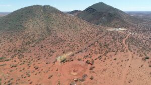
Field data collection. MBS leverage QField software on tablets to improve speed and reliability of data collection in the field including weed and vegetation assessments and geoscience data. MBS have a small UAV (drone) which we can utilise to collect up to date aerial mosaics and elevation data when in the field.
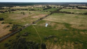
Hydrological modelling to estimate flood risks to existing and proposed infrastructure, and to assess mine waste landforms, identify areas potentially prone to erosion, and plan remedial works.
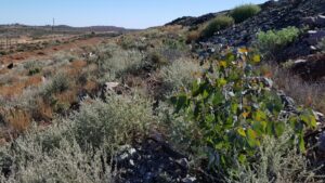
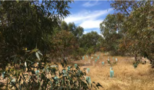
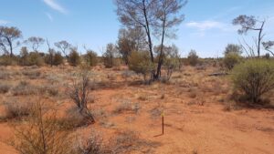
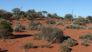
Vegetation, rehabilitation, and mine waste landforms monitoring over time including drone data collection to provide high-resolution data for small areas and remote sensing data for long term time series monitoring of larger areas.